Remote Sensing — Image Classification — eCognition
Object-Based Image Analysis of Planet Imagery
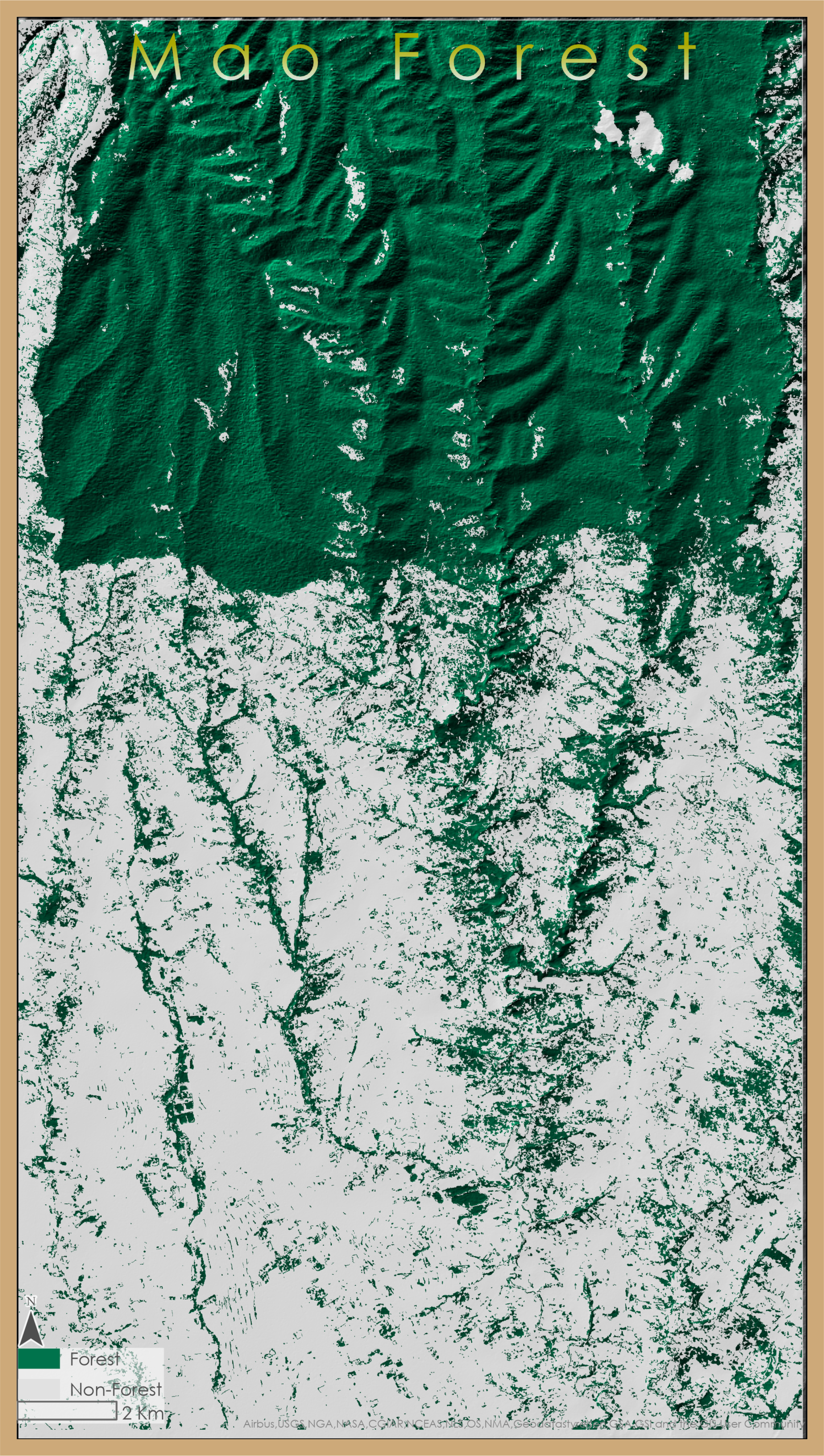
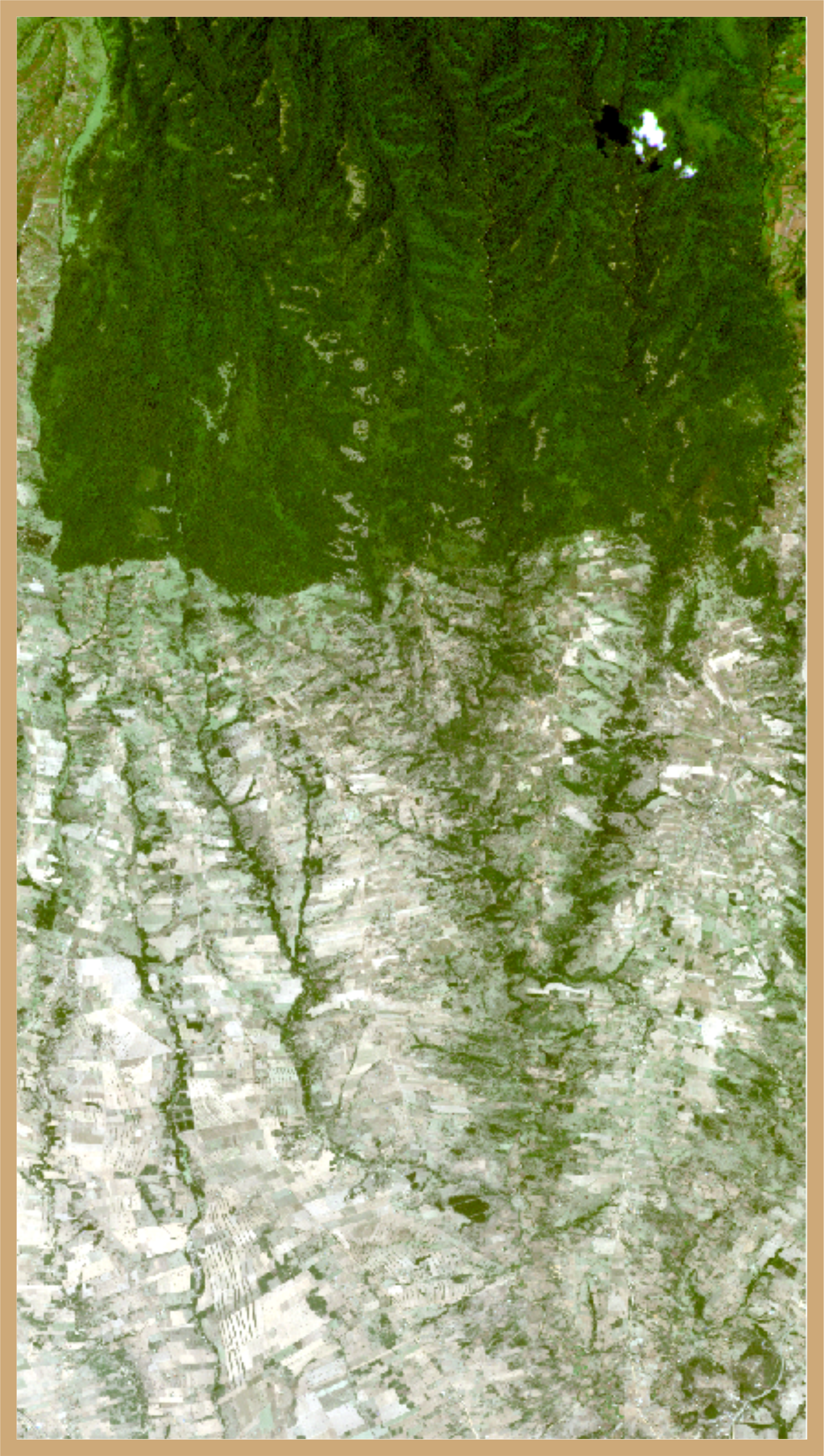
As a research scientist at UBC, I assisted a master’s student with her research exploring the relationship between children’s diet and surrounding forest qualities in the Mao Forest, Kenya by classifying a mosaic of fine-resolution (5m) Planet satellite images. To best capture smaller forest patches that were of particular interest, I conducted an object-based image analysis using eCognition software. I used imagery from the largest dry season to distinguish forest area from agriculture, and including band values, derived vegetation indices, and textural indices to segment the image objects. Classification relied most heavily on vegetation indices and a 30m STRM DEM. This methodology produced a classified image with over 95% accuracy.


